
 Rapid is a geophysical
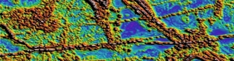
 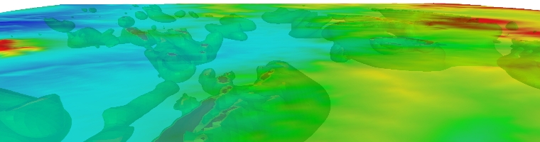 Acquisition Project Management for Ground, Marine and Airborne magnetics and gradient surveys. Processing of Magnetic data, grid merging and mosaicing. Fourier derivative generation, inversion and interpretation.
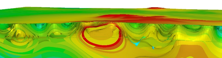 Acquisition Project Management for Ground, Marine and Airborne gravity and gradiometry surveys. Processing of Gravity data, grid merging and mosaicing. Fourier derivative generation, inversion and interpretation.
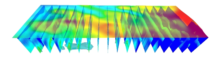 Acquisition Project Management for Ground, Marine, Airborne and Borehole survey design. Processing of Electromagnetic CDI construction and quality control. Interpretation of Ground, Airborne and Borehole discrete plate modelling.
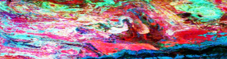 Acquisition Project Management for Ground and Airborne Radiometric surveys. Processing of Radiometric data, grid merging and mosaicing, grid ratio and derivative generation. Radiometric Principle Component Analysis and image processing, Structural Interpretation and anomaly picking, ranking and drill hole planning.
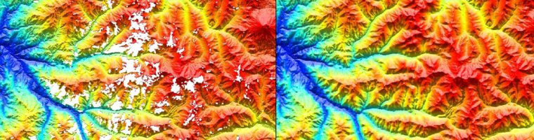 Interpretation of Landsat and ASTER data, grid merging and mosaicing, Principle Component Analysis and image processing, Structural Interpretation, Clay ratio and Iron oxide image processing, SRTM re-gridding to remove nulls and artifacts.
 0
0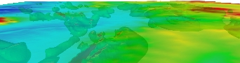 1
1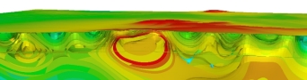 2
2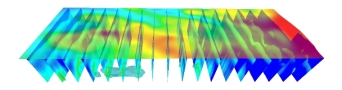 3
3 4
4 5
5Rapid Geophysics Consulting:
Rapid Geophysics is a Geophysical Consultancy specializing in potential field data processing, 3D Inversion, depth to basement analysis and integrated interpretation of multiple disciplines of geophysics.
Data processing, algorithm generation and automation are focus areas for Rapid with the intent to ensure high quality geophysical products with the benefit of robust computational physics.
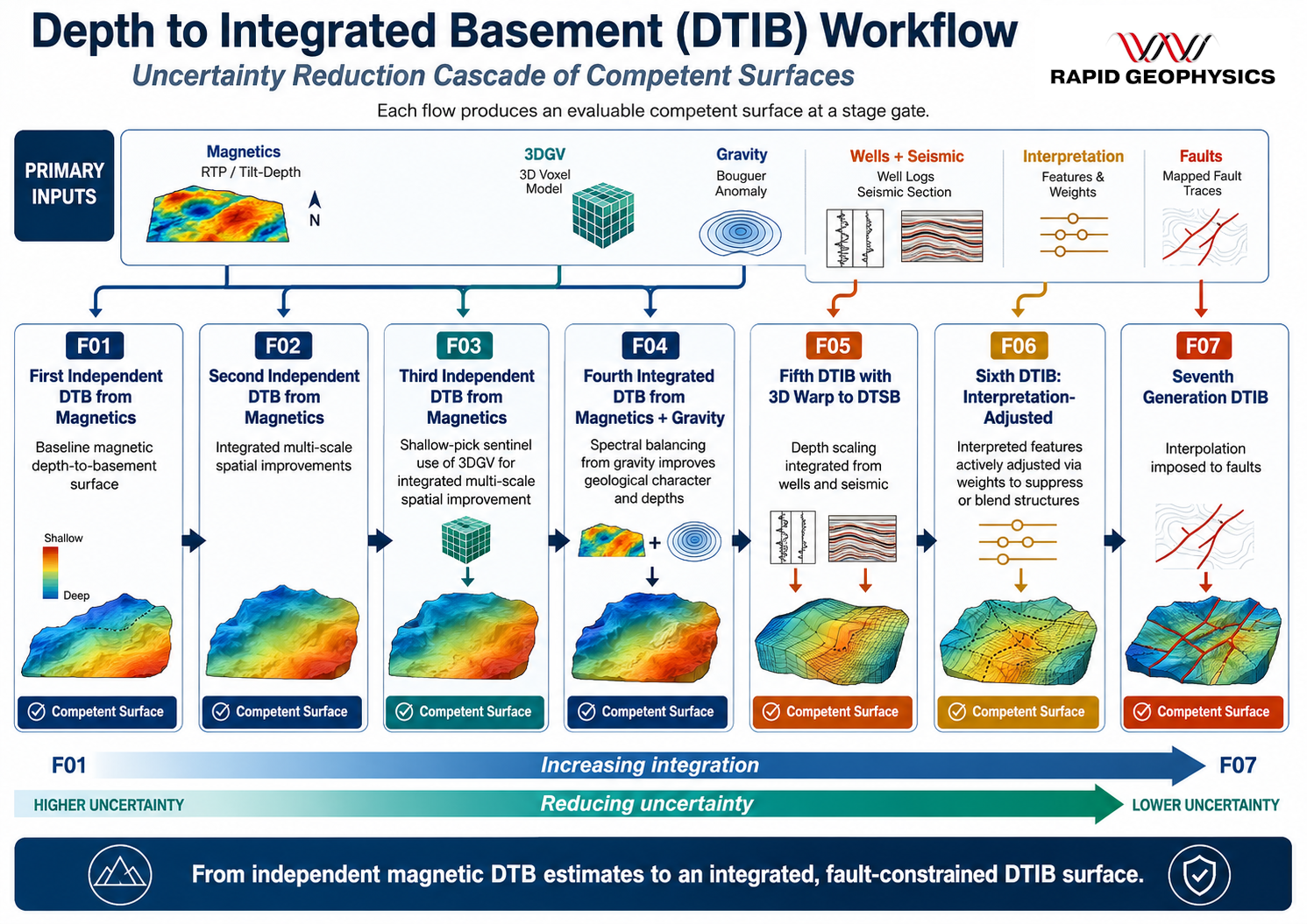
Rapid Geophysics has released its Depth to Integrated Basement workflow:
The 3D Goussev multiscale filter was originally introduced as a method for robust edge detection across pseudodepth slices in magnetic data.
Here, that concept is extended beyond interpretive visualization and implemented as a quantitative gating mechanism within an automated depth-to-integrated-basement (DTIB) workflow.
Magnetic depth observables are first aggregated using robust statistics. Multiscale edge persistence derived from upward-continuation residual stacks is then used to reject shallow-contaminated depth picks prior to surface integration.
A gravity-derived basement interface prior provides long-wavelength trend stabilization. The workflow operates as a staged cascade of uncertainty reduction, with each flow constraining the next.
Applications demonstrate improved structural coherence and reduced shallow signal imprinting relative to conventional magnetic-only depth integration.
For more information, please contact: b.cameron@rapidgeophysics.com.au