 Rapid is a geophysical
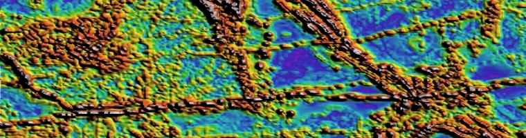
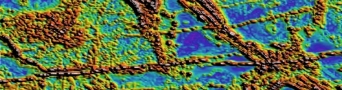
  Acquisition Project Management for Ground, Marine and Airborne magnetics and gradient surveys. Processing of Magnetic data, grid merging and mosaicing. Fourier derivative generation, inversion and interpretation.
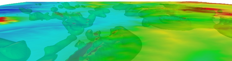
 Acquisition Project Management for Ground, Marine and Airborne gravity and gradiometry surveys. Processing of Gravity data, grid merging and mosaicing. Fourier derivative generation, inversion and interpretation.
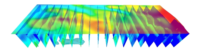 Acquisition Project Management for Ground, Marine, Airborne and Borehole survey design. Processing of Electromagnetic CDI construction and quality control. Interpretation of Ground, Airborne and Borehole discrete plate modelling.
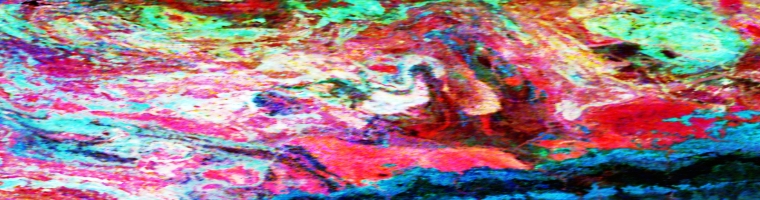 Acquisition Project Management for Ground and Airborne Radiometric surveys. Processing of Radiometric data, grid merging and mosaicing, grid ratio and derivative generation. Radiometric Principle Component Analysis and image processing, Structural Interpretation and anomaly picking, ranking and drill hole planning.
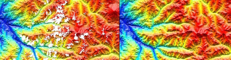 Interpretation of Landsat and ASTER data, grid merging and mosaicing, Principle Component Analysis and image processing, Structural Interpretation, Clay ratio and Iron oxide image processing, SRTM re-gridding to remove nulls and artifacts.
 0
0 1
1 2
2 3
3 4
4 5
5Accelerated Weight Drop - Seismic Acquisition:
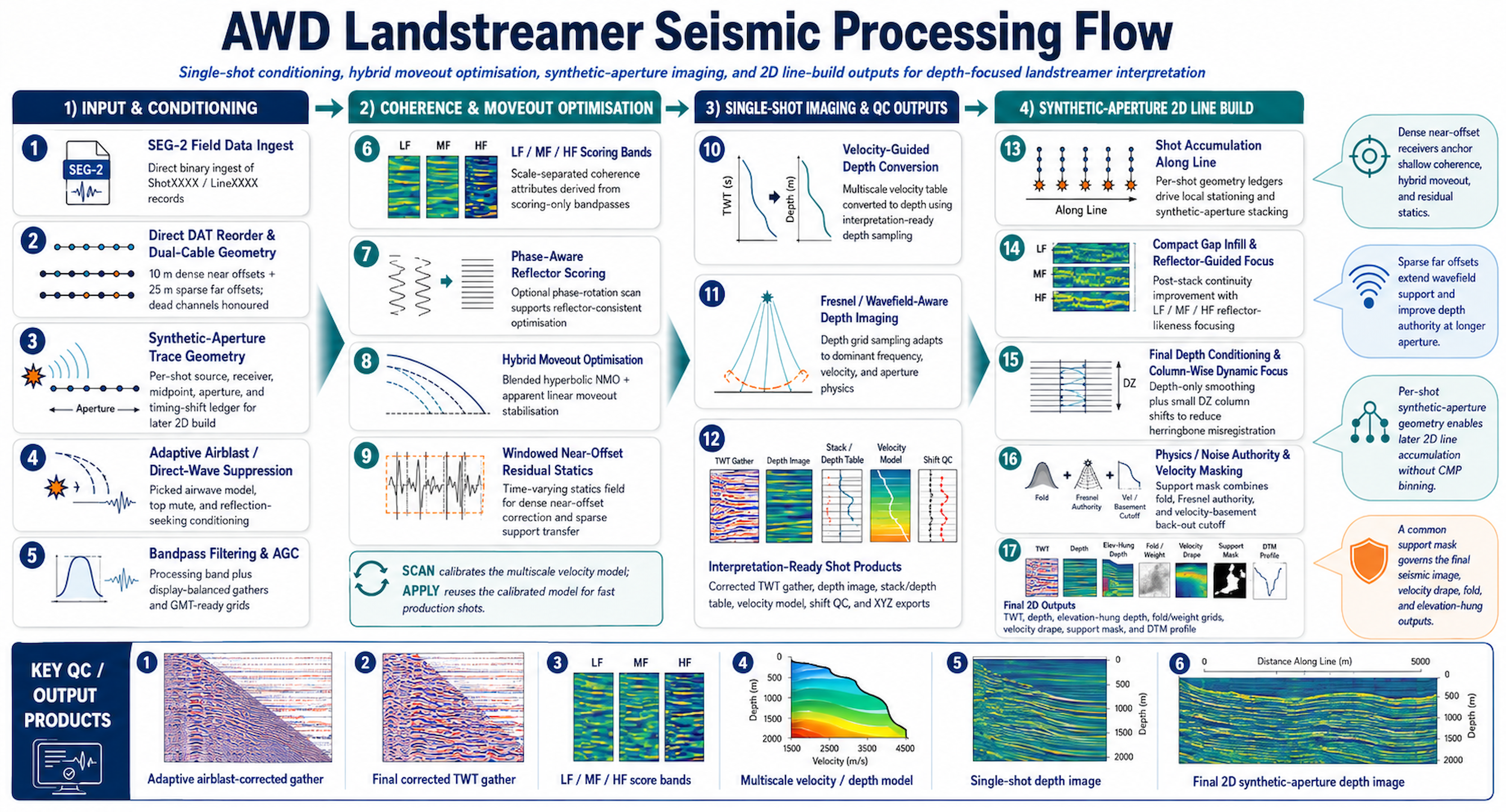
Rapid Geophysics has developed a purpose-built Fresnel Focussed Synthetic Aperture Imaging workflow for AWD land-streamer seismic data. The method treats the land-streamer as a moving seismic aperture rather than forcing the data into a conventional CMP-first framework.
Each AWD thump contributes a physically located, phase-conditioned wavefield sample into an evolving 2D line image. Dense near offsets preserve shallow high-frequency detail, while broader far-offset support contributes to deeper reflector packages through Fresnel-aware aperture weighting and coherence conditioning.
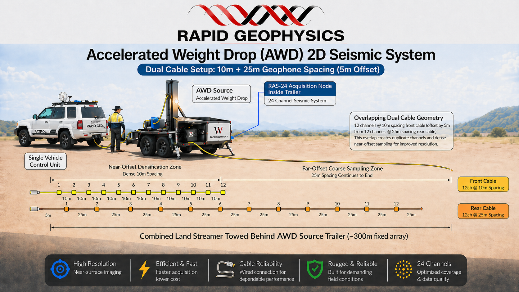
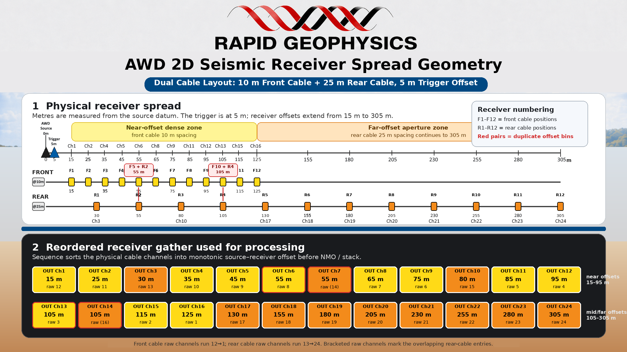
The workflow is designed specifically for hybrid short-spread acquisition using a dense near-offset receiver section and a sparse far-offset receiver section, reflecting the changing spatial sampling requirements of the propagating seismic wavefield.
The workflow separates physical aperture accumulation from final image rendering, so the synthetic-aperture image remains physically and geologically defensible.
Rapid Geophysics offers three types of geophysical surveys: 1) 2D Resistivity Tomography 2) RAMT 1D geoelectric sounding 3) AWD 2D Seismic. The integration of all three is the ElectroKinetic R&D project called "Cerberus".
Where did Rapid come from?
The Rapid Acquisition of Audio-Frequency Magnetotellurics was the title of Barrett Cameron's honours thesis.
Rapid Geophysics was created with the mission to provide the industry with fast, cost effective and quality geophysical services, utilising some of the most leading edge products and technologies within the industry - many of which are developed in house, and the result of many years study and experience.
